

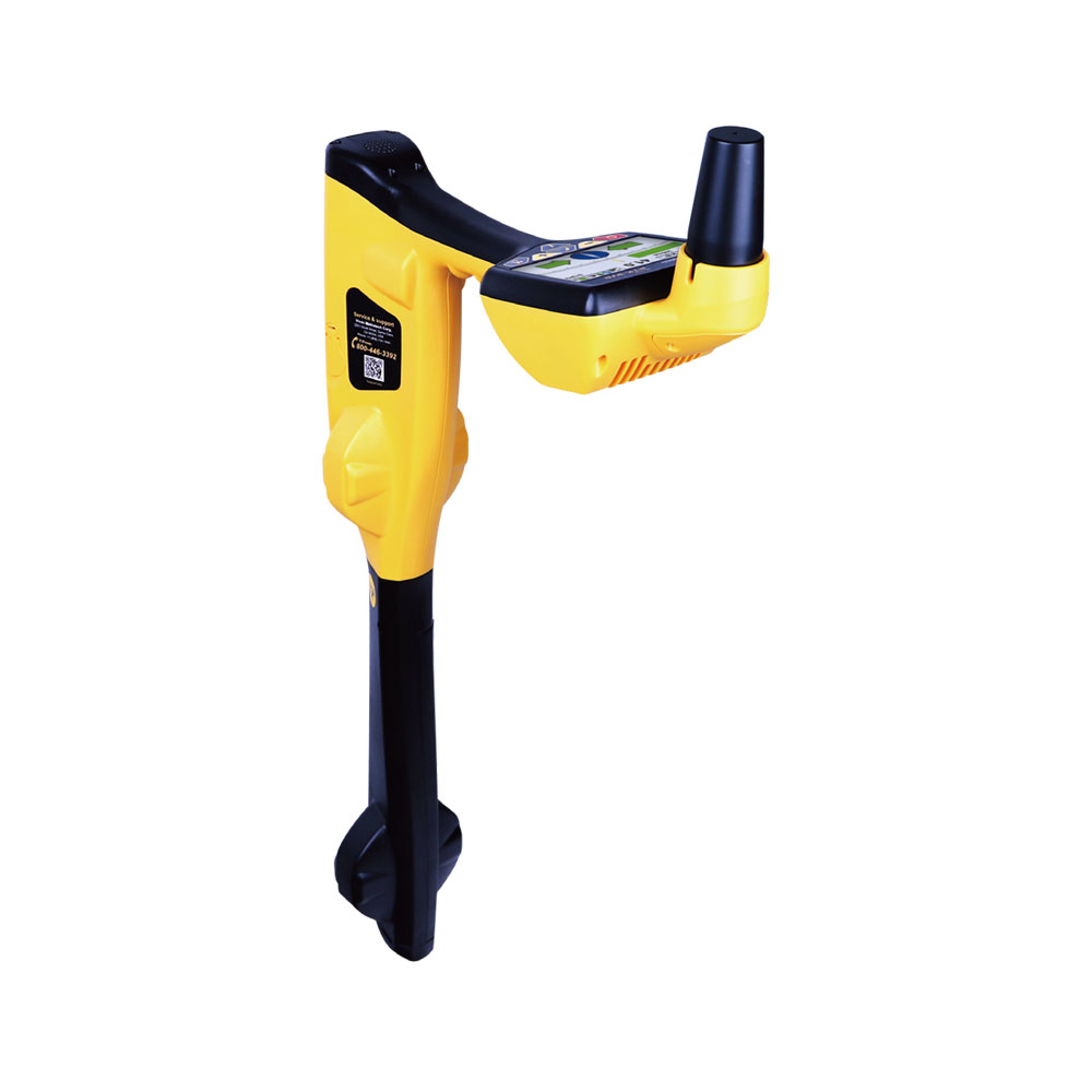
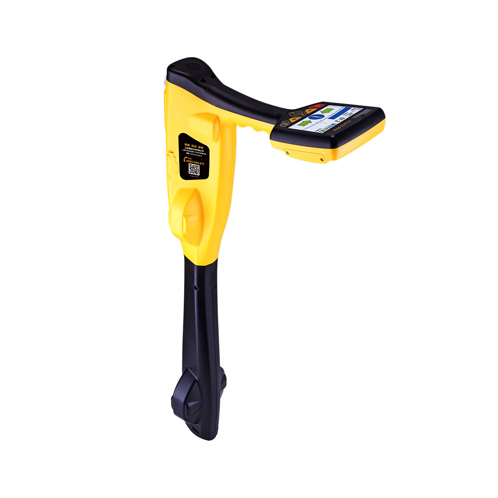
The Spar employs a set of magnetic field sensors to accurately measure the 3-D offset to an underground utility and automatically combines this offset with absolute positions obtained via GNSS or other survey methods to obtain the 3-D coordinates of the utility. The Spar’s novel approach allows it to measure the 3-D offset from any vantage point within range and its built-in acceleration and magnetic sensors allow it to operate in almost any position. Moreover, it offers two distinct operating modes, line and sonde, extending its capabilities to most surveying situations.
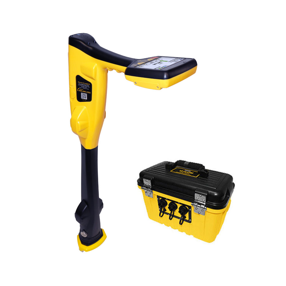
The Spar 300 product family consists of the Spar 300 and the Spar 300 PPS. The Spar 300 is usually mounted on a survey pole and is the right tool for utilities within a radial range of approximately 10 ft. (3 m). Two Spar 300 PPS units can collaborate to extend the measurement range up to approximately 50 ft. (15 m). The two Spars use a private wireless link to exchange data and a synchronization signal from GPS satellites to collaborate and are a good choice for deep utilities and other situations where a longer range is needed.
Reviews